 Loading...
 Loading...
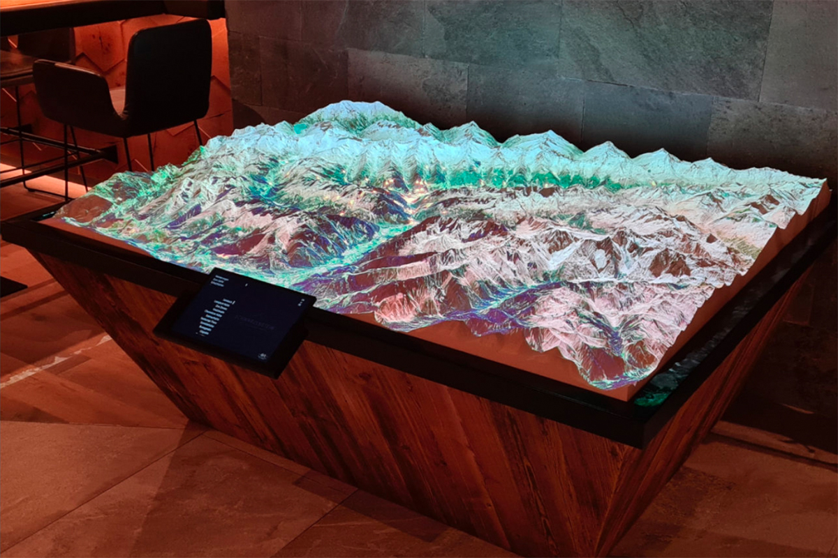
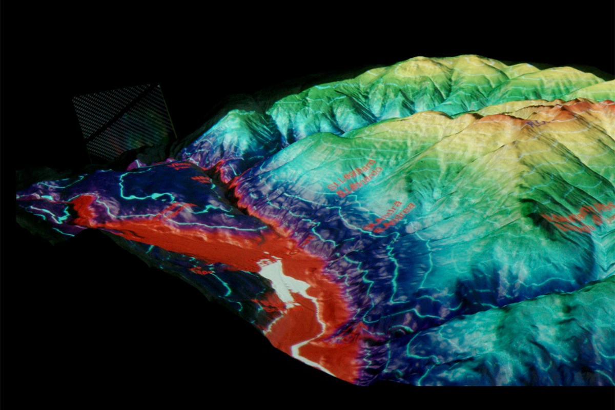
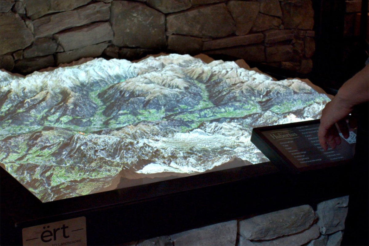
The ËRT project demonstrates how open data can transform creative concepts into effective solutions. By leveraging datasets from the Open Data Hub, the project transitioned from labour-intensive manual data entry to streamlined, scalable workflows. This innovation has resulted in the creation of interactive landscape models that combine CNC-milled terrain reliefs with dynamic digital projections. These models offer new and engaging ways to explore geographical information using real-world data and data visualisation tools.

ËRT is a pioneering initiative that creates interactive 3D landscape models to enhance understanding of geographical areas through dynamic projection mapping. Founded by Moritz Brunner, ËRT combines high-resolution, CNC-milled reliefs with digital projections to offer a unique way of visualising and interacting with geographical information. In the video interview, Brunner highlighted the key benefits of using open data, namely the vast quantity and variety of information available and how easily it can be integrated into new projects. By leveraging these open data sources, ËRT can provide richer, more comprehensive models that respond dynamically to real-world information.
More infoThe Open Data Hub provides a vast array of topographical, environmental, and statistical data that can be easily integrated into creative projects like ËRT using open data integration and real-time datasets. Access to these resources has enabled the project to evolve rapidly, enhancing educational and tourism experiences while demonstrating the potential of open data in creative industries.
Discover Datasets

Whether you’re working on interactive applications, educational tools, or other data-driven projects, the Open Data Hub can provide the resources you need to succeed.
Discover how the Data Access Service can support your vision.
Moritz BrunnerIn the beginning, I had to enter the data manually, which was very time-consuming. I wanted to learn how to integrate open data sets to improve scalability and production time. ËRT was later enriched with data from the Open Data Hub.